
Projects
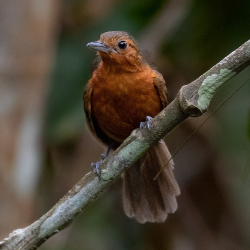
Collaboration with the San Diego Zoo to parse through and extract meaningful fauna vocalizations from massive audiosets
The Airborne Radio Collar Tracker is a low cost solution to tracking wildlife radio collars from an aerial vantage point
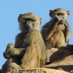
Using drone footage and computer vision to track baboon troop movement in the plains of the Laikipia Plateau in Kenya
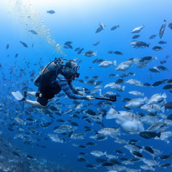
Democratizing accurate fish measurement, from phones to autonomous systems

Leveraging consumer-grade iOS LiDAR sensors to generate accurate, real-time fish length data, enabling citizen scientists and researchers to scale fisheries monitoring at lower cost.

Floods of Lubra focuses on using remote sensing techniques to monitor and predict the impact of climate change in the Himalayas

Monitoring the mangrove swamps in Baja California with the Scripps Institute of Oceanography via aerial surveys and 3D reconstruction

Remote sensing technologies for documenting ancient Maya ruins in the jungles of Guatemala

Smartfin brings citizen science to surfing, turning surfboards into coastal monitoring stations to seamlessly gather data on the near-shore environment

The Research Support Group supports all research operations at E4E