Test of Aerial Imaging Resolution for Aerial Surveys of Vaquita
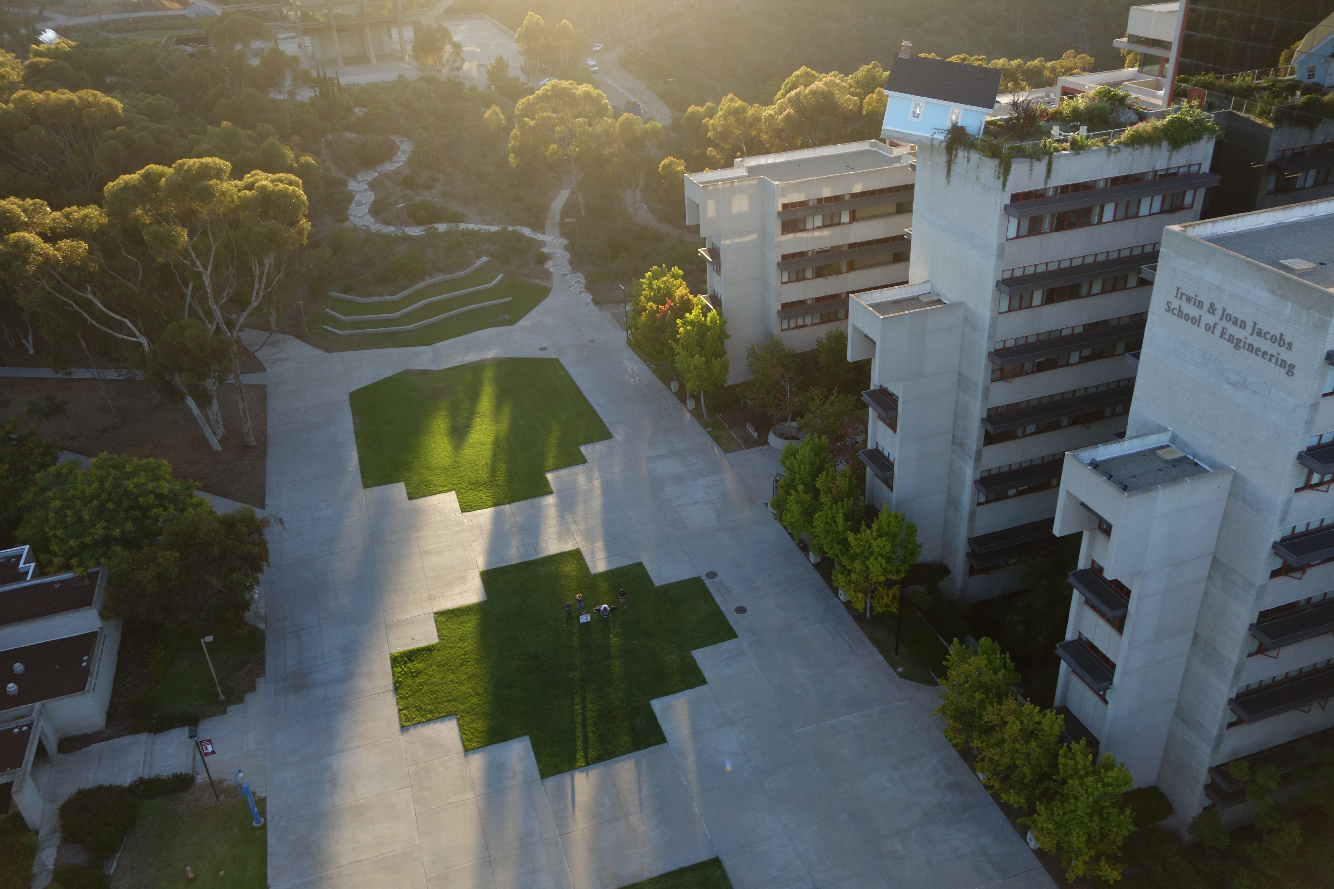
One of the goals of the vaquita project is to use low-cost, unmanned planes to do aerial surveys of the Vaquita Refuge and surrounding areas in order to provide visual evidence of vaquita outside the refuge. Visual sightings will provide support to the International Committee for the Recovery of the Vaquita’s (CIRVA) recommendation that the gillnet fishing ban be extended from beyond the Vaquita Refuge to cover the entire range of the vaquita, if the species is to be saved.
This week we ran some tests of our aerial imaging system to determine whether we have the necessary resolution to detect and classify vaquita from the air. We ran these tests using a Sony QX100 camera, which has a 1”, 20 megapixel sensor, to determine if this camera allowed us to resolve 8-inch high letters at various altitudes. We had calculated that for an 8-inch target at an altitude of 150ft, we would get 40 pixels on the target (since a 150ft altitude corresponds to a sensor-to-target distance of 215 to 300ft), which would likely allow us to read the letters.
The results below show that we can resolve 8-inch letters at altitudes up to 200ft (the highest altitude tested). At the highest altitude, we estimated a sensor-to-target distance of approximately 350ft. We achieved 9px on the target and were still able to clearly identify the letters.
We plan to fly aerial surveys at an altitude of 150ft. Vaquita can be identified by the shape of the dorsal fin, and the dorsal fins of adult vaquita are typically around 5 to 8 inches high [1]. Thus, our ability to resolve 8-inch letters at 150ft altitude is a promising step towards being able to spot vaquita using this aerial survey technique.
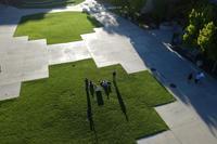
Results at 50ft altitude (click for full resolution):
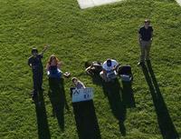
Results at 100ft altitude:
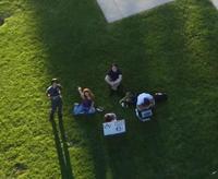
Results at 150ft altitude:
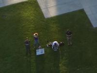
Results at 200ft altitude:
[1] J. Torre et al, “Sexual dimorphism and developmental patterns in the external morphology of the vaquita, Phocoena sinus,” in Marine Mammal Sci., 2014.
